civil
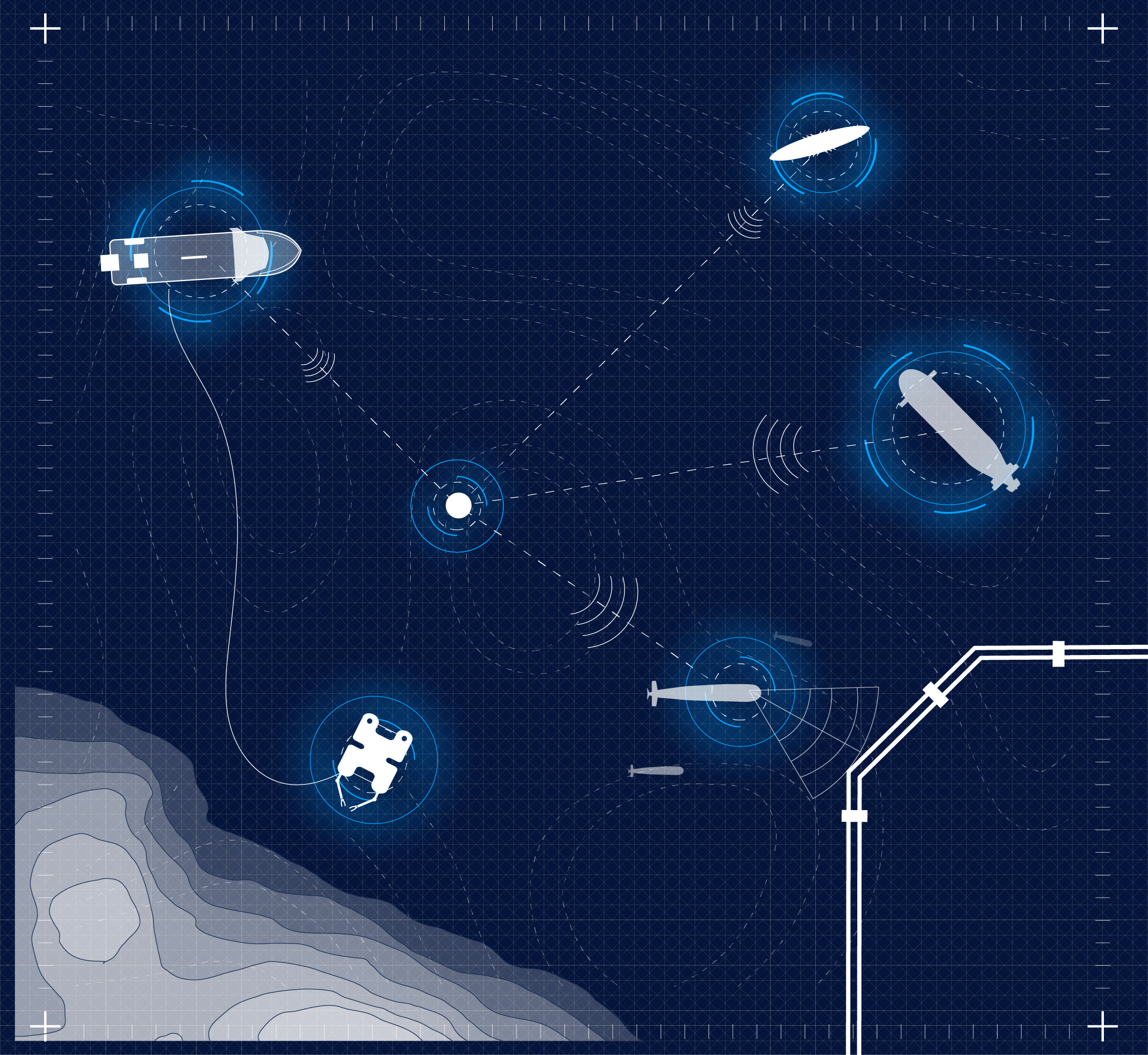
From preliminary surveys to operational monitoring, integrated survey solutions support the entire lifecycle of maritime and subsea infrastructure, helping to optimize their design, construction, and in-service maintenance.
Through the combined use of advanced technologies, artificial intelligence applications, and high-precision analytical systems, Fincantieri delivers solutions that enable a comprehensive understanding of the marine environment and its dynamics, providing a reliable information foundation for the planning, development, and management of assets throughout their lifecycle.
The integration of multimodal sensors, autonomous platforms, and advanced data-processing capabilities transforms large volumes of information into actionable operational knowledge, supporting effective
and efficient decision-making.